The Park Is a Protractor: Estimating Heights on a Leicester Afternoon
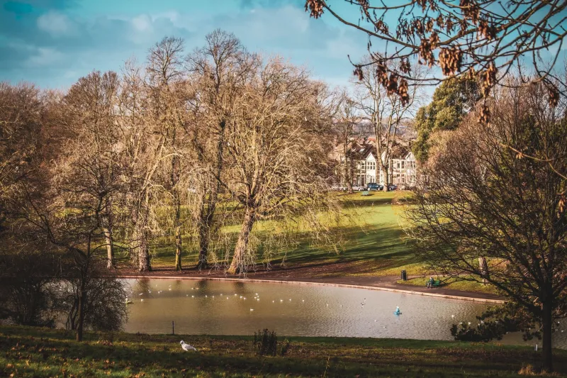
Victoria Park is gloriously flat. That is usually a blessing for a kickabout and a mild nuisance for anyone trying to teach trigonometry. Flat ground gives you long sightlines, though, and in mid-November the low sun turns every upright thing into a ready-made triangle. With a metre stick, a piece of string and a little patience, you can turn a walk past the Arch of Remembrance into a proper measuring session.
This is a field kit, not a worksheet. The aim is to make an estimate, compare it with a second method, and then decide how much you trust the answer. That last step is where the real maths lives.
Why a flat park is a trigonometry lab
Trigonometry is often introduced as a set of ratios to memorise. Outdoors, it becomes a way of reaching things you cannot touch. Two ideas do most of the work here: similar triangles and the tangent ratio.
Similar triangles are the shadow method. If a metre stick and a tall monument are both lit by the same sun, the triangles made by their shadows have the same shape. The ratio of height to shadow length is the same for both. That means you can measure a shadow on the ground and calculate a height in the air.
The tangent ratio is the clinometer method. If you sight the top of a building from a known distance away, the angle of elevation gives you a right-angled triangle. The tangent of that angle is the opposite side divided by the adjacent side, so the height above your eye is distance x tan(angle). Add your eye height and you have an estimate for the whole thing.
The shadow method: similar triangles with a metre stick
You need a sunny day, a metre stick or a tape measure, and a clear patch of ground. Stand the stick upright and measure its shadow. Then measure the shadow of the object you care about, from the base to the tip. Keep both measurements in the same units.
Suppose the stick is 1 m tall and its shadow is 1.55 m long. The ratio is 1 divided by 1.55, which is about 0.645. If the Arch of Remembrance casts a shadow of 38 m, the estimated height is 38 x 0.645, which comes to about 24.5 m. That is a sensible ballpark figure for a large civic monument, and it gives you a number to check against a map or a published description.
The method is quick, but it is fussy about flat ground. If the shadow falls across a slope or a path edge, your measurement will drift. Measure the shadow at right angles to the object where possible, and take two or three readings rather than trusting a single one.
Make a clinometer from a protractor and a straw
A clinometer sounds specialist. A homemade one takes about five minutes. Tape a drinking straw along the straight edge of a protractor. Tie a weight, such as a small washer, to a piece of string and attach the string to the centre point. Hold the protractor so the straw points at the top of your target, let the string hang freely, and read the angle where the string crosses the scale. You are measuring the angle of elevation.
For a building, measure the horizontal distance from your feet to a point directly below the top. Then use height = distance x tan(angle) + eye height. If you stand 32 m from the Arch and read an angle of 34 degrees, tan 34 is about 0.675. The height above your eye is 32 x 0.675, or about 21.6 m. Add an eye height of 1.6 m and you get roughly 23.2 m. That is close to the shadow estimate, which is exactly the sort of agreement you want.
A calculator is fine, but a printed table of tangents for 20 to 60 degrees is more fun and less battery-dependent. It also makes the ratio feel less like magic.
Three stations for a November field trip
Start at the Arch of Remembrance. It is the obvious tall target, and the open ground around it gives you room to pace out a distance. Use the shadow method first, then the clinometer from a measured distance. Record both answers before you compare them.
Next, turn towards De Montfort Hall from the park edge. Pick a safe spot on a path, measure your distance to the facade, and sight the roofline. A distance of 40 m and an angle of 24 degrees gives a height above eye of about 17.8 m, or roughly 19.4 m once you add eye height. Treat that as an estimate, not a survey.
Finally, choose a tall tree or lamp post near the London Road side. Smaller targets are less intimidating and easier to sight. A tree that casts a 9 m shadow when your stick casts 1.5 m is about 6 m tall by the ratio method. Check whether that feels right against the people standing nearby.
The field sheet
Copy this table into a notebook or print it on a single page. Add a column for the time, because the sun moves and shadows change.
| Station | Method | Distance or shadow | Angle | Estimate | Notes |
|---|---|---|---|---|---|
| Arch of Remembrance | Shadow | 38 m shadow | - | 24.5 m | Stick ratio 1:1.55 |
| Arch of Remembrance | Clinometer | 32 m | 34 degrees | 23.2 m | Eye height 1.6 m |
| De Montfort Hall | Clinometer | 40 m | 24 degrees | 19.4 m | From park path |
| Tree near London Road | Shadow | 9 m shadow | - | 6.0 m | Rough ground |
At the bottom of the sheet, leave space for three questions. Which estimate do you trust most? Why? What would make the next measurement better? Those questions matter more than the final number.
When the numbers disagree
Two estimates that differ by a metre or two are not a failure. They are a clue. The shadow may have fallen across uneven ground. The clinometer angle may have been read from the wrong mark. Your distance may have been paced rather than taped. A low sun makes shadows long and their edges soft, which makes the tip harder to locate.
If you want a check, use a mapping app or an Ordnance Survey map to confirm horizontal distances, and look for published dimensions where they exist. Do not expect park furniture and trees to have official heights. For those, the point is the method, not the decimal place.
Park rules and good maths manners
Measure from paths and open grass, not from flowerbeds or private land. Keep sightlines clear of other park users, and do not stand in the road to get a better angle. Ask before measuring anything that belongs to a business or a venue. A clipboard and a polite question usually go a long way.
Victoria Park will not give you perfect triangles. It will give you real ones, which is better. Take a stick, a shadow and a squint along the top of a protractor, and see what Leicester's flat ground can tell you about the height of its skyline.